Satellite-Based Machine Learning: Distribution, Yield and Health
Harness the power of machine learning and satellite imagery to monitor crops and disease.
Satellite-Based Plant Health Diagnostics
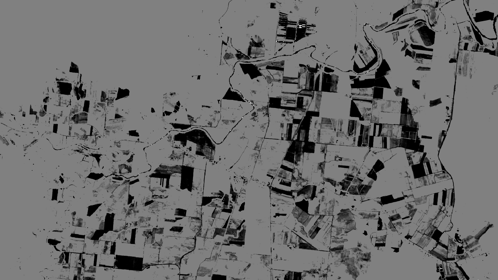
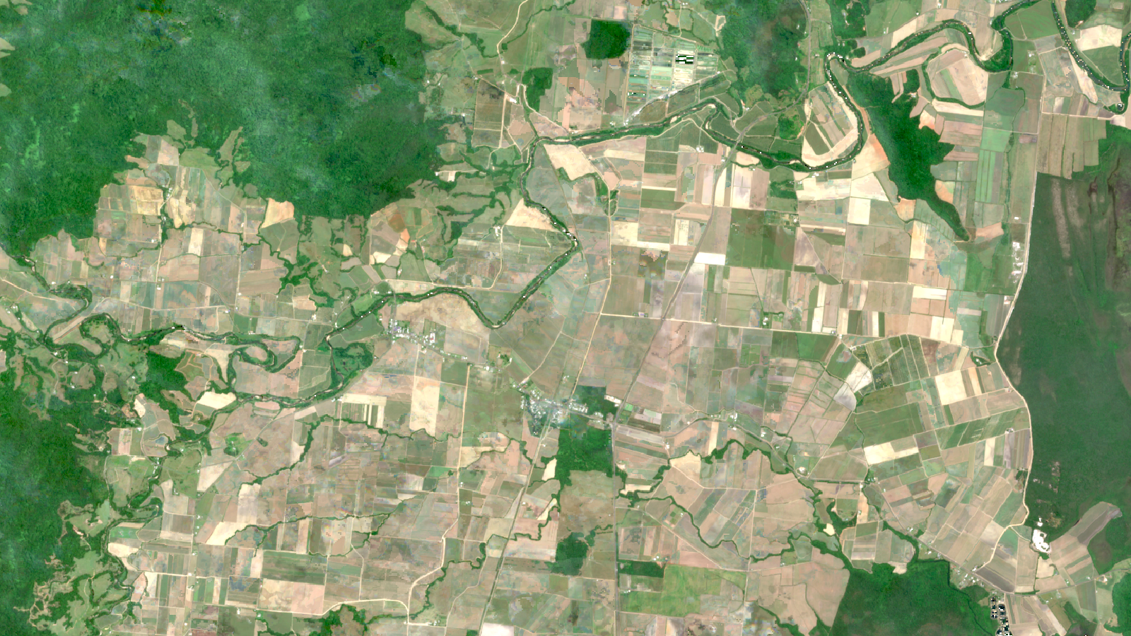
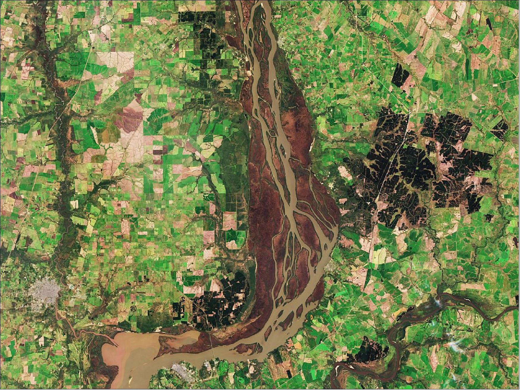
We develop advanced satellite-based ML algorithms to generate near-real time high-resolution predictions of crop health and disease spread at unprecedented scales.
-
Unlock the Power of Prediction
Our ML-driven insights feed into epidemic models, improving the predictive power of our epidemic forecasts, to increase the efficacy of strategic decision making.
-
Near-Real Time Outbreak Warnings
These insights highlight changes in production landscapes important to crop health. By analysing changes in the predicted prevalence of disease, we can identify in near-real time likely hotspots for new outbreaks to trigger early warning systems.
-
Increasing Precision
Our models improve over time, integrating data from new outbreaks and data generated from field observations.
Field Detection and Yield Prediction
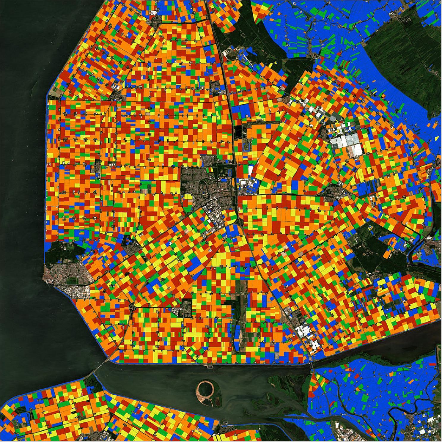
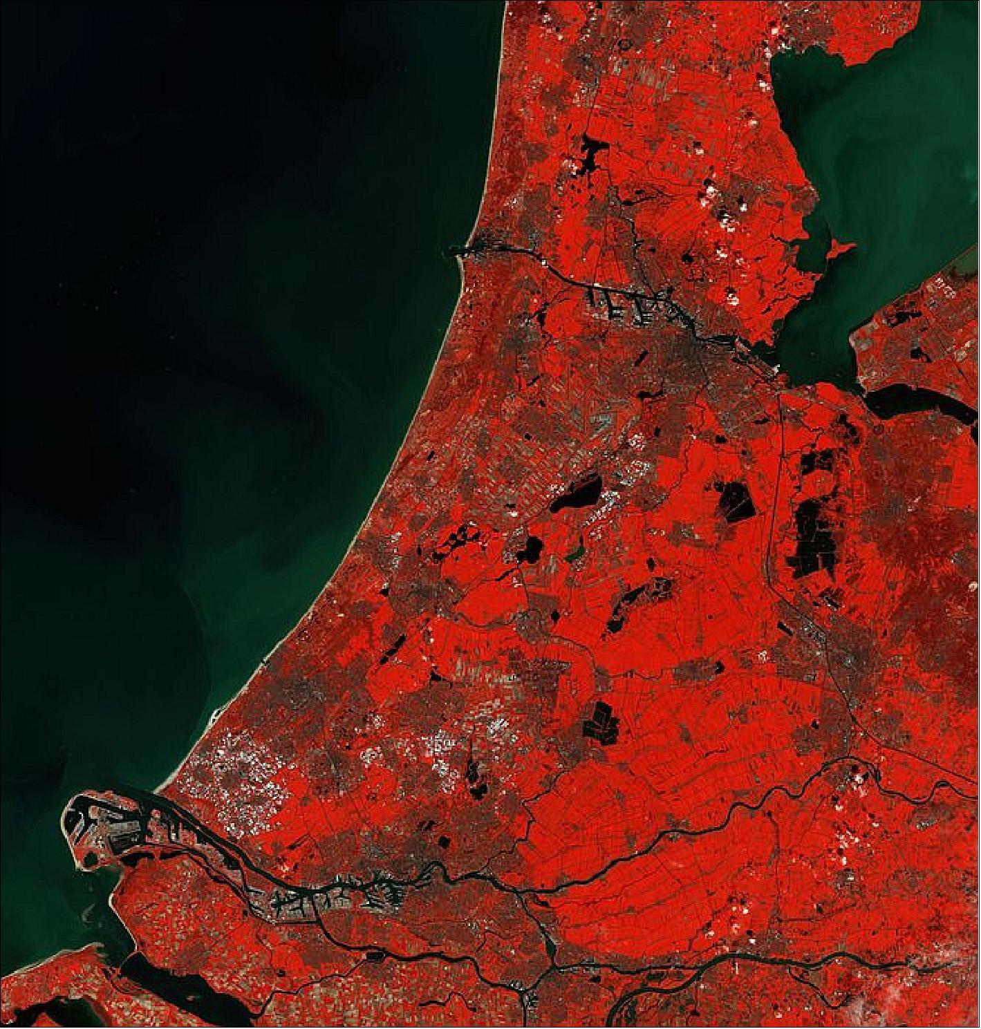
We apply advanced machine learning techniques to satellite imagery, enabling precise classification of crop types at high spatial resolutions and delimiting field boundaries.
-
Unprecedented Resolution
Crop production layers generated through satellite classification are seamlessly integrated into our epidemic models, allowing for accurate representation of the spatial structure of crop production, which is key to accurate forecasting of landscape-scale epidemic spread.
-
Landscape-Scale Yield Predictions
By utilising high-resolution crop production data from satellite imagery, we can predict crop yields with greater accuracy. These insights integrate with our predictive models to enable scenario planning to minimise yield loss.
