FSID
Next-Generation Pest and Disease Forecasting


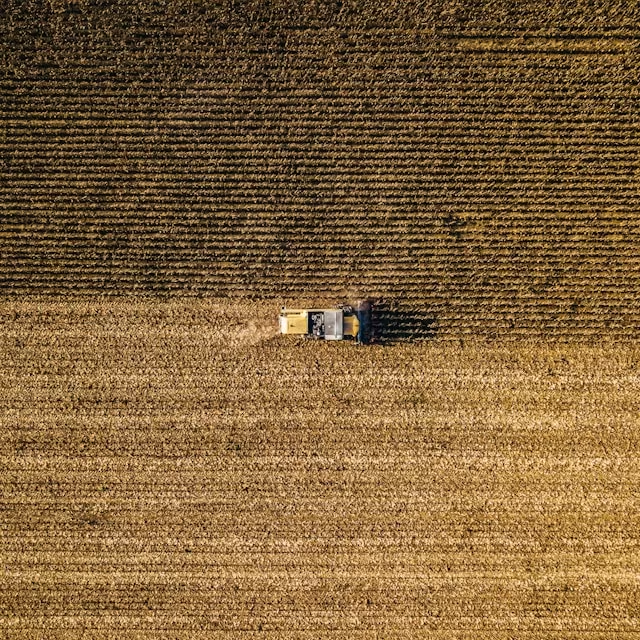
Globally, up to 40% of crops are lost to pests and diseases each year, leading to significant economic, social, and environmental losses.
We create AI/ML-powered tools that forecast, monitor, and mitigate the impacts of pests and diseases on crops, forests, and ecosystems.
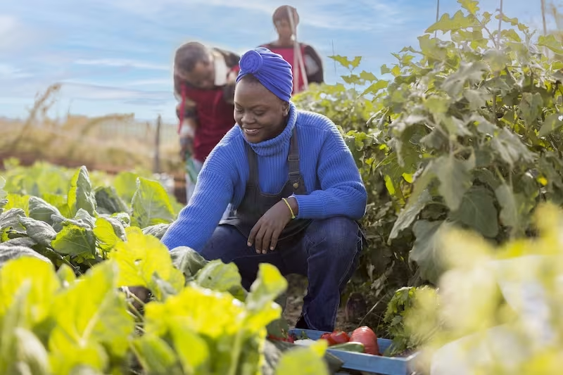
Our solutions are not only scientifically robust but practical and impactful, providing end-to-end solutions for early detection, risk assessment, and data-driven strategies to predict and manage outbreaks.
Our mission is to prevent losses caused by pests and disease by harnessing next-generation tools that empower people to make smarter, faster decisions.
Capabilities
Precision Tools for Global Impact
- 1
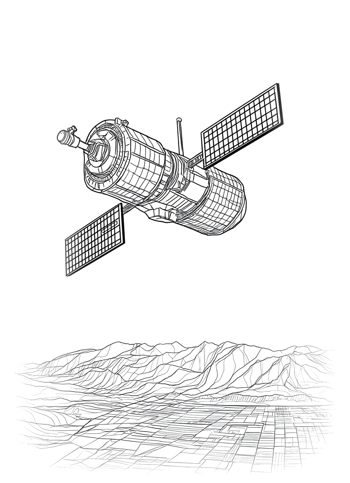
Satellite-Based Machine Learning: Distribution, Yield and Health
- 2


Epidemic and Pest Modelling: Landscape-scale Spread Dynamics
- 3

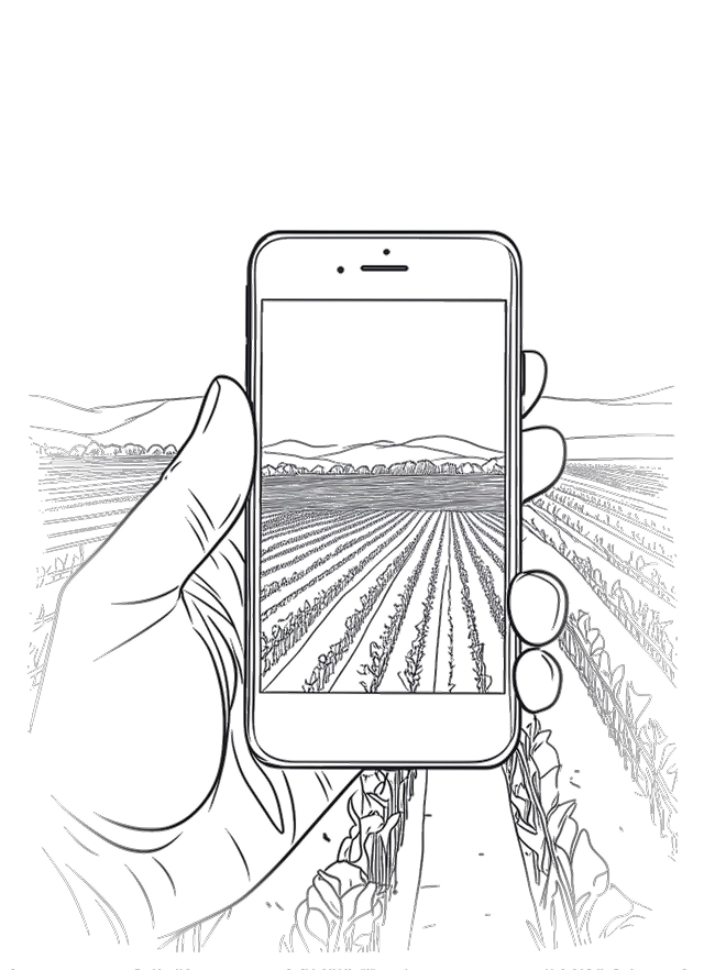
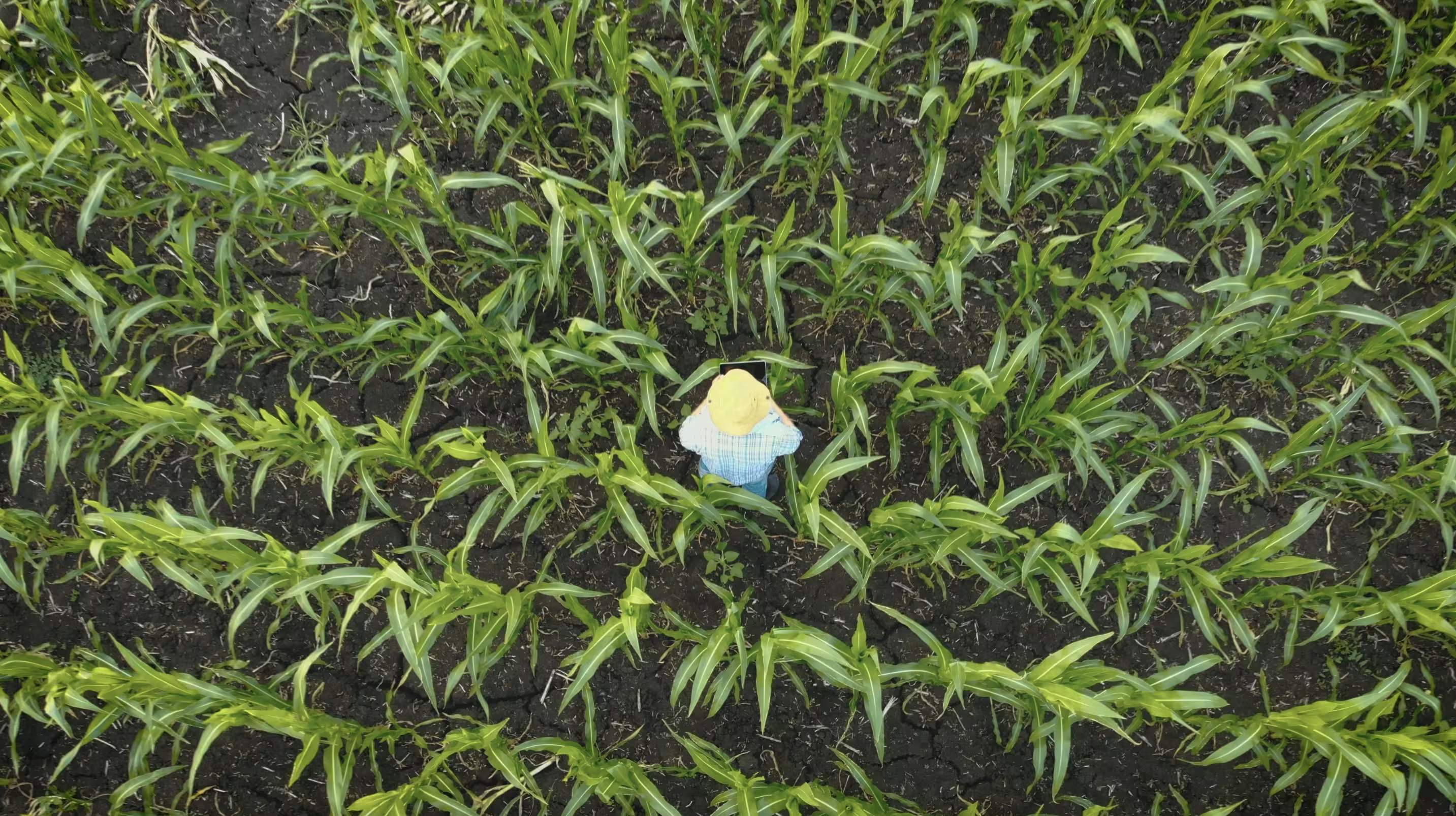
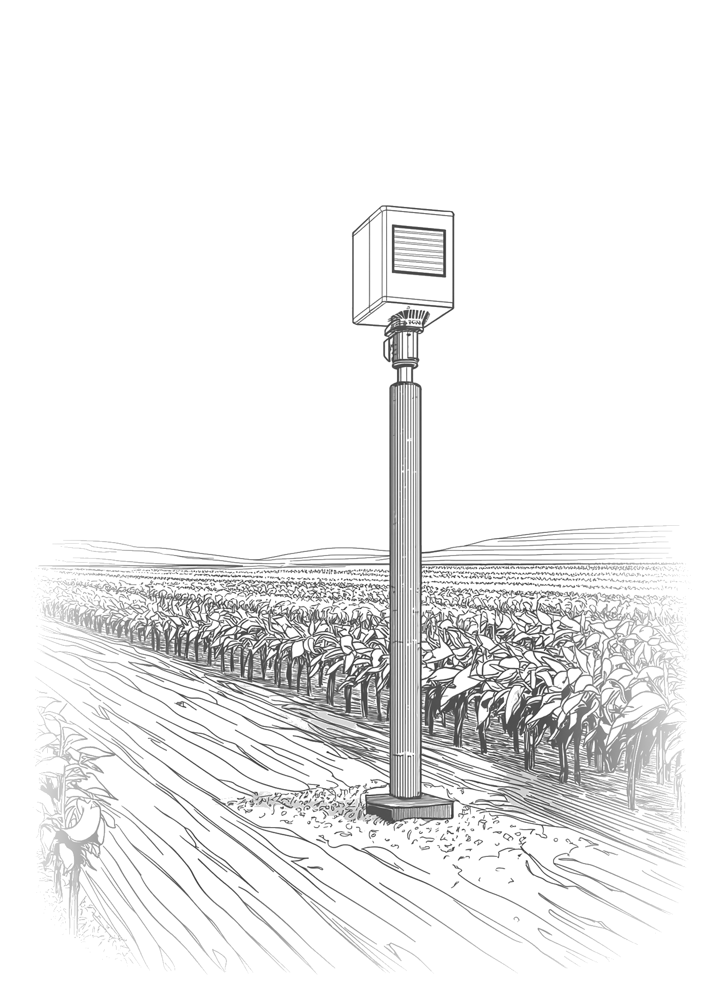
Multi-Source Data Collection and Integration: In Situ, Proximal and Remote Sensing
- 4
Surveillance and Management Optimisation: Maximising Efficiency
- 5
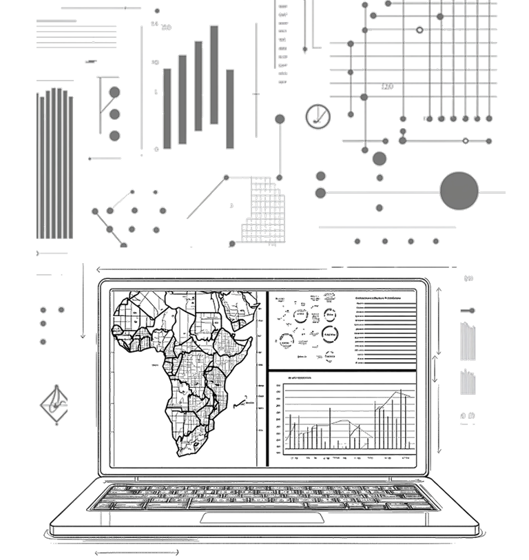
Command Centre: Centralised Intelligence and Decision Support
Our Process
Deep Collaboration & Discovery
We start by working closely with you to deeply understand the challenges you face. By aligning on your goals and data needs, we ensure that our solution is tailored specifically to your ecosystem, whether it’s crops, forests, or broader environmental factors.
Data Integration & Centralised Intelligence
We integrate diverse data sources - satellite imagery, IoT sensors, field data, and external datasets - into a unified platform. This centralised system ensures that all your data is accessible in real-time for comprehensive analysis.
AI/ML-Powered Insights & Forecasting
Using advanced machine learning and AI algorithms, we develop bespoke models to forecast and analyse pest and disease outbreaks. These data-driven insights empower you to make informed, strategic decisions with confidence.
Real-Time Monitoring & Actionable Alerts
Our tools provide continuous monitoring and real-time alerts, empowering you to take immediate action. Whether it’s detecting early signs of outbreaks or assessing risk, we give you the information you need to respond rapidly and effectively.
Continuous Optimisation & Evolution
As your needs evolve, so do our solutions. We provide ongoing support and optimisation, refining models based on new data and insights. Our platform is continuously updated with the latest insights and its modular architecture can evolve with your needs.
- 1
- 2
- 3
- 4
- 5
Sectors
Solving complex problems across numerous industries


-
Agribusinesses
Agribusinesses
Agribusinesses
-
Insurance
Insurance
Insurance
-
Government
Government
Government
-
NGOs & Foundations
NGOs & Foundations
NGOs & Foundations
-
Food & Beverage
Food & Beverage
Food & Beverage
-
Commodity Trading
Commodity Trading
Commodity Trading
-
Agrochemical
Agrochemical
Agrochemical
-
Defence
Defence
Defence
Global Outbreaks
